Cut-Through Traffic: What the 2045 Model Shows for Secondary Roads
2/22/2026
Cut-Through Traffic: What Roads Were Studied — and What Happened?
One of the central claims surrounding the Lucketts Bypass is that it will reduce cut-through traffic on local secondary roads. The County’s 2045 travel demand model provides projected Average Daily Traffic (ADT) volumes under two scenarios:
- No-Build Condition (No Bypass)
- Build Condition (Bypass in Place)
Below is a breakdown of the specific secondary roads included in the model and the projected findings.
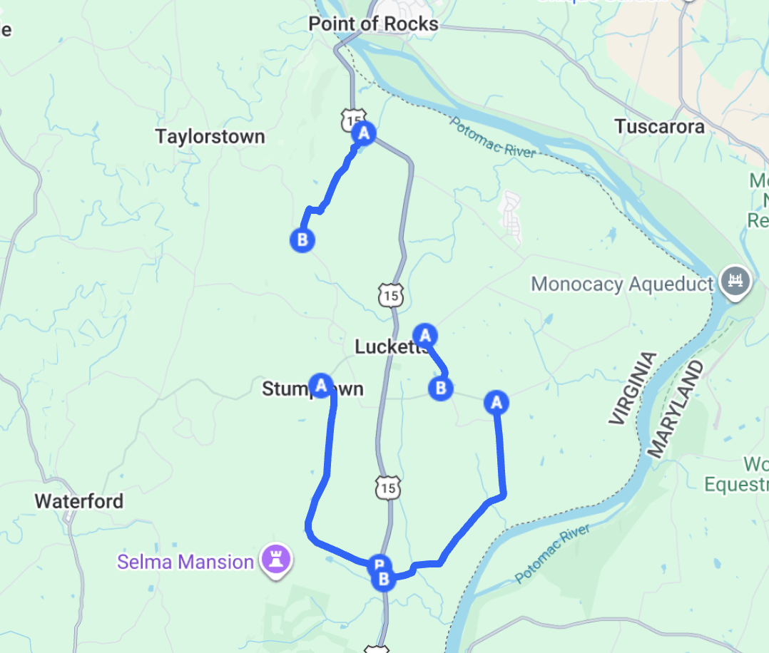
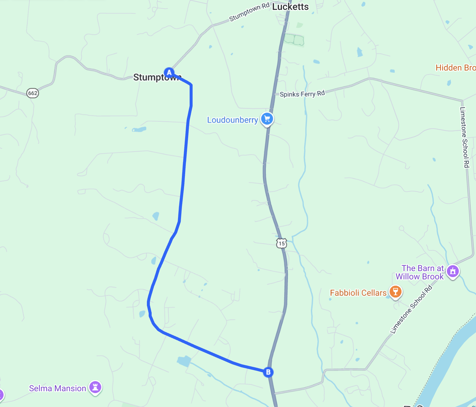
Montresor Road
Segment 1: Stumptown Road to Daleview Lane
2045 ADT
- No-Build: 332 vehicles/day
- Build: 321 vehicles/day
- Change: –11 vehicles/day
Segment 2: Daleview Lane to Garriland Drive
2045 ADT
- No-Build: 1,106 vehicles/day
- Build: 1,092 vehicles/day
- Change: –14 vehicles/day
Segment 3: Garriland Drive to Route 15
2045 ADT
- No-Build: 1,097 vehicles/day
- Build: 1,094 vehicles/day
- Change: –3 vehicles/day
Takeaway:
Across all three segments, projected differences are minimal. The model does not show a meaningful reduction in traffic volumes on Montresor Road as a result of the bypass.
Limestone School Road
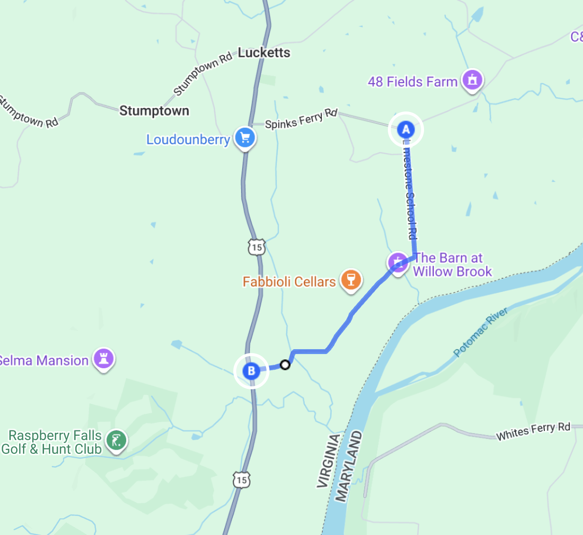
2045 ADT
- No-Build: 509 vehicles/day
- Build: 513 vehicles/day
- Change: +4 vehicles/day
Takeaway:
Traffic is projected to slightly increase under the bypass scenario. The difference is small but does not indicate relief.
Wilts Store Road
2045 ADT
- No-Build: 1,593 vehicles/day
- Build: 975 vehicles/day
- Change: –618 vehicles/day
Takeaway:
This is the only secondary road showing a substantial modeled reduction. The bypass diverts a significant number of vehicles away from Wilts Store Road in the 2045 projection.
Falconaire Place
Status: Not included in the travel demand model.
No projected 2045 volumes were provided for Falconaire Place. This means the model does not evaluate bypass impacts on that roadway.
Summary Table
| Road | 2045 Change (Build vs No-Build) |
|---|---|
| Montresor Road | Minimal decrease (3–14 vehicles/day) |
| Limestone School Road | Slight increase (+4 vehicles/day) |
| Wilts Store Road | Significant decrease (–618 vehicles/day) |
| Falconaire Place | Not modeled |
What the Model Suggests
Based on the County’s own projections:
- The bypass does not materially reduce traffic on Montresor Road.
- Limestone School Road sees no meaningful relief.
- Wilts Store Road carries the majority of the modeled diversion benefit.
- Some neighborhood streets were not evaluated at all.
Travel demand models rely on assumptions about future growth, land use, and network behavior. They do not always capture short-term congestion avoidance or navigation-app rerouting behaviors. However, for long-range planning purposes, this is the County’s official forecast.
Bottom Line
If the objective is to reduce cut-through traffic on roads like Montresor or Limestone School, the 2045 model does not show meaningful improvement. The primary modeled benefit appears concentrated on Wilts Store Road.
Understanding what the data actually shows is essential before drawing broader conclusions about neighborhood traffic impacts.